Refine your search
Sale Section
Category
Filtered by:
- Category
- List
- Grid
-
13 item(s)/page
A subscription to the Price Guide is required to view results for auctions ten days or older. Click here for more information
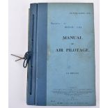

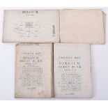
Aviation – Manual of Air Pilotage 1930, issued by the Air Ministry with hard board covers. Air Publication 1234. With various charts, diagrams and...

M.Bellin, "Description Geographique et Historique De L'Isle de Corse (Corsica) pour joindre aux Cart
M.Bellin, "Description Geographique et Historique De L'Isle de Corse (Corsica) pour joindre aux Cartes & Plans de dette Isle Paris", Didot, 1769. ...
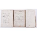
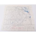
Original WW1 Trench Maps
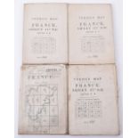
Original WW1 Trench Maps, France Sheet 57d S.E. 1:20,000 26-4-16 German trenches from Beaumont Hamel South to La Boisselle & Brigade Trench Map, D...
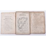
Original WW1 Trench Maps Belgium
Original WW1 Trench Maps Belgium, Sheet 28 NW Ed 6A 1:20,000, 1917. Trenches shown North and North East of Ypres, another particularly interesting...
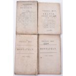
Original WW1 Trench Maps
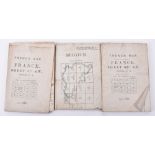
Original WW1 Trench Maps France Montauban 1:20,000 2-6-16 "Special" Trench map covering area from La Boisselle to Guillemont, including Fricourt a...
Original Great War Trench Maps of Belgium, (St.Julien) 28, N.W Edition 4B. 1:20,000, 28-1-17. Interesting area of Trenches North and East of Ypres...
Original Great War Trench Maps
Original Great War Trench Maps, Somme sheet 57D SE Edition 2B 28-4-16 1:20,000, Covers area from Beaumont Hamel via Thiepval down to La-Boisselle,...
Original Great War Trench Maps
Original Great War Trench Maps, Sheet 57C Edition 2B, 1:20,000, 5-5-16 Covers area from Bazentin-le-Petit, via Longueval to Guillemont, also 62D N...
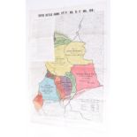
Official Map Issued by A.P & SS in 1918 Showing British Battles During 1918 (8th August to 11th Nove
Official Map Issued by A.P & SS in 1918 Showing British Battles During 1918 (8th August to 11th November 1918). Large folding coloured map showing...
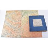
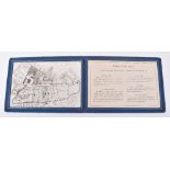
WW1 First Army Administrative Report on the Vimy Ridge Operations Part V Maps, Plans and Diagrams,
WW1 First Army Administrative Report on the Vimy Ridge Operations Part V Maps, Plans and Diagrams, blue hard board covers with printed label to th...
WW2 Map of Rhine Crossing Interest, being a traced map dated 1 MAR 1945 for Rhine Crossing Wesel 23 MAR 1945. Shows some wear but generally still ...
2x Silk Aircrew Escape Maps
2x Silk Aircrew Escape Maps, the first covers Iraq and Basra; second covers Siam and Sumatra. Both in good condition.
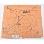
London Borough of Kensington, Warden's Post no 33. Unusual blue cloth folding display of Small scale street map of area and summary of wartime Air...
-
13 item(s)/page