Filtered by:
- Category
- List
- Grid
-
17 item(s)/page
A subscription to the Price Guide is required to view results for auctions ten days or older. Click here for more information
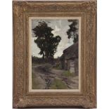

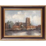
Van der Weele
Herman Johannes van der Weele (1852-1930)Woman with child at a farm along a sandy road, presumably near Nunspeet, maroufle 36x25 cm
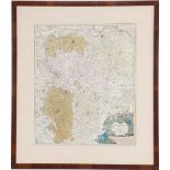
Johann Baptist Homann
Johann Baptist Homann (1664-1724)Ducatus Brabantiae Nova Tabula approx. 1720, 58x48 cm, outer size 81x71 cm
Topographic map
Topographic map, Hollandiae Meridionalis Pars I, Constinens Novissimam, Delflandiae, Schielandiae doro Stepanum Swart, 45x55 cm, outer size 69x79 ...
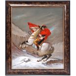
Jan van der Meer
Jan van der Meer (1942-)Napoleon Crossing the Alps, aka Napoleon at the Saint Bernard Pass, copy after Jacques-Louis David, panel 60x50 cm
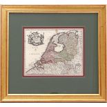
Topographical map
Framed topographical map of the VII provinces of the Netherlands/Belgium, by Christophoro Weigelio, situation ca. 1700, 27x34 cm, incl. frame in t...
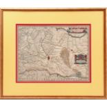
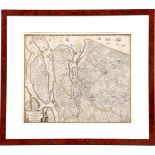
Topographical map
Framed topographical map of the diocese of Utrecht, made by Evert Simonsz Hamersvelt cartographer Balthasar Florisz van Berckenrode, situation ca....
Topographical map
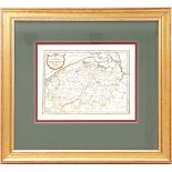
Framed topographical map of Die Grafschaft Flandern, situation ca. 1700, 27x35 cm, incl. frame 57x62 cm in total

Topographical map
Framed topographical map, Accurate map of the old Netherlands and some adjacent regions in Amsterdam by Isaak Tirion, situation around the year 10...
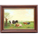
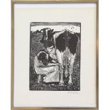
Jan van der Meer
Jan van der Meer (1942-)Cows in a meadow by the lake, panel 29x43 cm
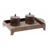
Copper ink set
Amsterdam School copper ink set, possibly Jan Eisenloeffel, not marked, 27.5 cm wide
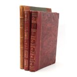
3 atlases
3 atlases including Nordisk Världsatlas from 1926, Allgemeiner Handatlas from 1881 and Nouvel Atlas Illustré from 1895
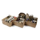
3 boxes with various
3 boxes with various plates including design Jan des Bouvrie for Keltum and Alessi
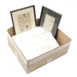
Box various
Box with 10 topographical maps, the Netherlands and the world, 19th century, partly framed, partly in passe-partout
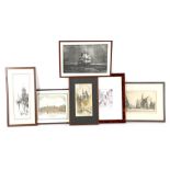
6 wall decorations
6 various wall decorations including Haarlem, The Good Hope at Sea, Academia Lugduno Batava, Goes, Venice and an etching with a windmill by Jan va...
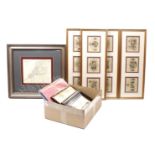
Box topographical maps
Box of 42 English topographical maps, mostly in plastic sleeve and 2 framed
-
17 item(s)/page