Refine your search
Sale Section
Category
Creator / Brand
2 item(s)
Filtered by:
- Category
- List
- Grid
-
2 item(s)/page
A subscription to the Price Guide is required to view results for auctions ten days or older. Click here for more information
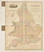

1840 A Map of England and Wales divided into Counties, Parliamentary Divisions and Dioceses, shewing the Principal Roads, Railways, Rivers and Can...
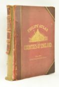
Cartographical interest. 1885 Philip's Atlas of the Counties of England. Including maps of North & South Wales, the Channel Islands and the Isle o...
-
2 item(s)/page