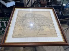

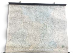
Norfolk Ordnance Survey railway map, 1943

Sammlerobjekte Auktionen
Beliebte Kategorien
Antike Landkarten
Musikinstrumente & Memorabilia
Banknoten & Wertpapiere
Sport Memorabilia & Ausrüstungen
Briefmarken
Schreibgeräte
Kameras & Fotoausrüstungen
Unterhaltung Memorabilia
Religiöse & Sakrale Kunst
Wissenschaftliche Instrumente
Waffen, Rüstungen & Militaria
Wein & Spirituosen
Präparate & Naturkundliches
Küchenutensilien
Werkzeug
Eisenbahngeschichte
Ausgewählte Auktionen
Kommende Auktionen
66 Los(e)
Sortieren nach:
- Kategorie
- Liste
- Galerie
-
66 Los(e)/Seite
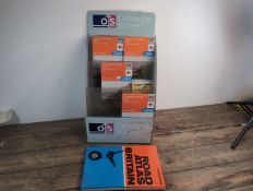
OS maps point-of-sale display advertising stand c/w qty Norfolk maps, unused
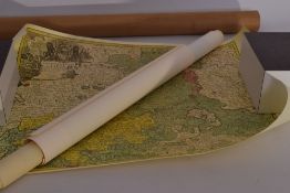
Los 191
Collectie landkaarten
Collectie landkaarten (Koning's Loo en Noord Nederland) in koker - Collection of maps (Koning's Loo and Northern Netherlands) in tube
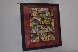
Los 798
Wandtapijt
Wandtapijt "uitzicht"; Nellie van Gulik hand geverfd katoen ca 100X87 cm uit 1993 - Tapestry “view”; Nellie van Gulik hand-dyed cotton approx. 100...
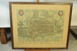
Los 1077
Kaart van Utrecht
Zeer oude gekleurde kaart van Utrecht - Very old coloured map of Utrecht
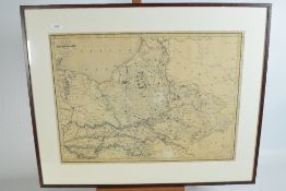
Los 745
Oude kaart
Oude kaart der provincie Gelderland - Antique map of the province of Gelderland
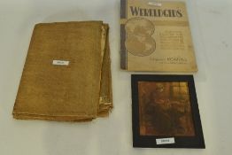
Los 592
Kaart + afbeelding
Wereldgids + kaart van Europa ca 1915 zeer slechte conditie toegevoegd zeer vervuilde afbeelding handwerkende vrouw - World atlas + map of Europe,...
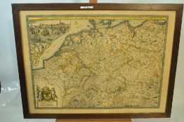
Los 1215
Kaart Duitsland
Antieke kaart Duitsland met aangrenzende koninkrijken en provintiën - Antique map of Germany with neighbouring kingdoms and provinces
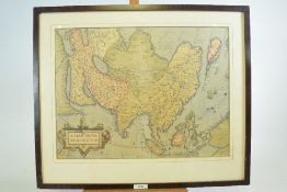
Los 899
Oude kaart "Assiae"
Oude kaart van "Asiae" in lijst - Old map of ‘Asiae’ in a frame
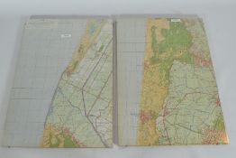
Los 733
2X kaart achter glas
Fotogrammetrische kaart in stereografisch projectie "Ellipsoïde van Bessel 1842" 2X achter glas ca 35X50 cm - Photogrammetric map in stereographic...
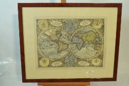
Los 1216
wereldkaart
Historische wereldkaart "matheus Sutter" - Historical world map ‘Matheus Sutter’
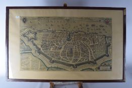
Los 1251
Gekleurde kaart van Antwerpen
Prachtig gekleurde kaart van Antwerpen, antiek kaart in lijst ca 60X102 cm. - Beautiful colored map of Antwerp, antique map framed ca 60X102 cm
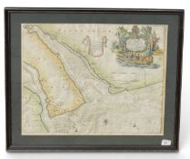
Los 1518
A 17TH CENTURY MAP OF FLINTSHIRE
A 17TH CENTURY MAP OF FLINTSHIRE The New and Exact Survey of the River Dee, of Chester-Water is the most humbly Dedicated and Presented to his mo...
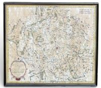
A 17TH CENTURY MAP OF LINGONES, BY N.SANSON 51cm x 45cm Hand coloured. Dated 1656. Framed and glazed.
Los 1599
JOHN TUKE (BRITISH, 18TH CENTURY): MAP OF CHESTERFIELD, DERBY, NOTTINGHAM, YORK, LINCOLN, RUTLAND, L
JOHN TUKE (BRITISH, 18TH CENTURY): MAP OF CHESTERFIELD, DERBY, NOTTINGHAM, YORK, LINCOLN, RUTLAND, LEICESTER, STAFFORD, SALOP, CHESTER AND LANCAST...
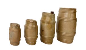
FOUR ENGLISH 19TH CENTURY STONEWARE BARRELS Applied with plaques inscribed with the names of various pubs. The largest 20.5cm high
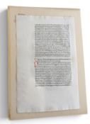
A SINGLE LEAF FROM LACTANTIUS FIRMIAMUS OPERA Printed by Johannes De Colonia and Johannes Manthen, Venice, 1478. 23cm x 19.5cm
Los 1519
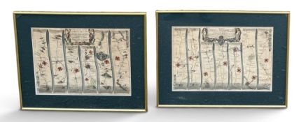
JOHN OGILBY: A PAIR OF MAPS, THE ROAD FROM LONDON TO SOUTHAMPTON 1675 AND THE ROAD FROM LONDON TO BR
JOHN OGILBY: A PAIR OF MAPS, THE ROAD FROM LONDON TO SOUTHAMPTON 1675 AND THE ROAD FROM LONDON TO BRISTOL, 1675 48cm x 32cm Framed and glazed.
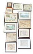
A COLLECTION OF MAPS TO INCLUDE 18TH CENTURY Each framed and glazed. Largest frame 66cm x 53cm Some reproduction.
Los 50
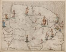
William Hole, for Michael Drayton Norfolk and Suffolk, engraved map for 'Poly-Olbion' with hand
William Hole, for Michael Drayton Norfolk and Suffolk, engraved map for 'Poly-Olbion' with hand colouring, 24.5 x 31cm
Los 42
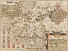
John Speed A map of Pembrokeshire, inset with vignettes of 'Penbroke' and Saint David's', and with
42John Speed A map of Pembrokeshire, inset with vignettes of 'Penbroke' and Saint David's', and with
John Speed A map of Pembrokeshire, inset with vignettes of 'Penbroke' and Saint David's', and with coats of arms, engraving with hand colourin...
Los 54A
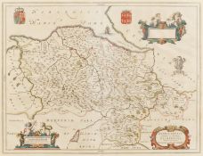
J. Blaeu Denbighshire and Flintshire, hand coloured engraved map, 38 x 50cm; and Thomas Kitchin - An
J. Blaeu Denbighshire and Flintshire, hand coloured engraved map, 38 x 50cm; and Thomas Kitchin - An Accurate Map of Cardiganshire, 34 x 52cm....
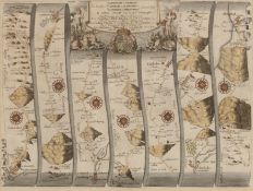
John Ogilby A Road Map from Carmaerthen to Aberystwyth, hand coloured engraving, 33 x 44cm
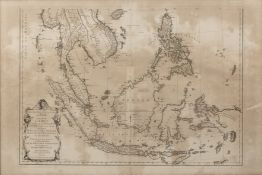
Los 68
Le Sr D'Anville 'Seconde Partie de la Carte d'Asie', engraved map with hand colouring, 49.5 x 69.
Le Sr D'Anville 'Seconde Partie de la Carte d'Asie', engraved map with hand colouring, 49.5 x 69.5cm
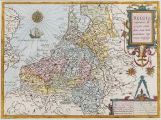
A 17 th century map 'Belgiae Inferiors description emendate cum circum jacentium regionni confinis', published by Jan Orlers, engraving, hand...
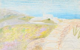
λ WINIFRED NICHOLSON (BRITISH 1893-1981) MATALA, CRETE Pastel 28 x 46cm (11 x 18in.) Provenance: Sale, Bonhams, Oxford, 8 September 2010,...
Los 57
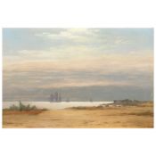
Niels Carl Flindt Dahl (Danish, 1812-1865) A view of Sandviken near 'Kjørbo Hovedgaard' by ...
Niels Carl Flindt Dahl (Danish, 1812-1865) A view of Sandviken near 'Kjørbo Hovedgaard' by the Oslo Fiord. Morning signed 'Dahl' (lower right), i...
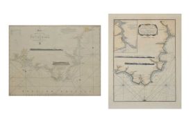
Devon Interest - George III hand-coloured engraved map, 'An Hydrographical Survey of the Coast of Devonshire from Exmouth Bar to Stoke Point, Con...
Captain G Williams R.N, Victorian uncoloured engraved sea chart 'Approaches to Falmouth' with two inset horizon profiles, published at The Admiral...
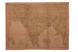
Los 366
G.W. BACON & CO., LTD. WALL ATLAS MAP OF INDIA PRODUCTIONS. G.W. BACON & CO., LTD., [C. 1920].
This vintage thematic wall map is titled Wall Atlas Map of India Productions and was published by G.W. Bacon & Co., Ltd., of Norwich Street, Londo...
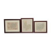
Late 19th-century American cartographic prints of Ohio and Columbus. The grouping comprises a landscape map of Ohio with county divisions and inse...
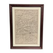
Map depicting portions of Central Ohio including Franklin, Marion, Union, Delaware, Madison, and Hardin counties. The map features detailed townsh...
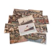
Collection of vintage postcards featuring the French ocean liners SS Lafayette and SS Champlain, operated by the Compagnie Generale Transatlantiqu...
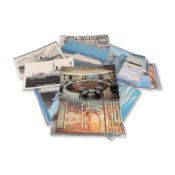
Mid-20th century North German Lloyd (Norddeutscher Lloyd) maritime postcard collection. Printed color and monochrome cards documenting the T.S. Br...
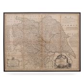
Emanuel Bowen was a Welsh map engraver, who achieved the unique distinction of becoming Royal Mapmaker to both to King George II of Great Britain ...
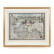
Antique 17th Century British very rare and original John Speed (1551-1629) map of the Barkshire Described, J. Sud and Georg Humble, publication (1...
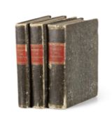
Los 1542
Medizin - Pharmazie - - Friedrich
Medizin - Pharmazie - - Friedrich Wilhelm Theile u. Heinrich Wilhelm Ferdinand Wackenroder. Sammlung von 3 Bänden handschriftlichen Vorlesungsmits...
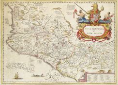
Südamerika - - Jean François de Galaup de La Pérouse. Plan de l Ile de Paque (mit) Plan de la Baye de Cook (und) Vues de l Ile de Paque. Ca. 50 x ...
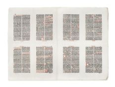
Inkunabeln - Postinkunabeln - - Oktav-Bogen aus dem Breviarium Halberstadense. Druckbogen aus dem Psalterium (Lage GG, Bl. 49-56). Nürnberg, Georg...
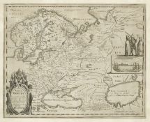
Russland - - Matthäus d. Ä. Merian. (1593 Basel - 1650 Schwalbach). Tabula Russiae ex autographo, quod delineandum curavit Foedor filius Tzaris B...
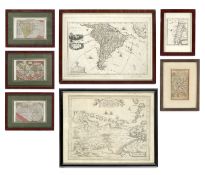
Los 517
Nord- und Südamerika - - Barent
Nord- und Südamerika - - Barent Langenes. Sammlung von 3 kolorierten Kupferkarte: Den Cloot der Aerden (von J. Hondius) - America (Nord- und Südam...
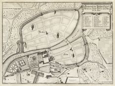
Berlin - - Matthäus Merian. Grundriß der Beyden Churf. Residentz Städte Berlin und Cölln an der Spree. Kupferstich von Merian & M. Kusell nach Joh...
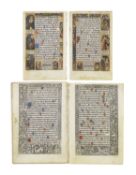
Mittelalter - Stundenbuchblätter - - I. Sammlung von 2 Blättern (4 Seiten) aus einem Stundenbuch. Teils Rubrizierung in Rot und Blau, kleinen verg...
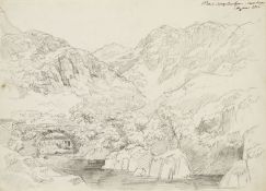
Großbritannien - - 18. Jahrhundert Englisch. 4 Werke. Englische Landschaften. Um 1800. Je Feder, Aquarell bzw. Bleistift auf Bütten. Von 20 x 31,5...
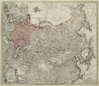
Russland - - Johann Matthias Hasius. Imperii Russici et Tatariae universae tam majoris et Asiaticae quam minoris et Europaeae Tabula. 1739. Kupfer...
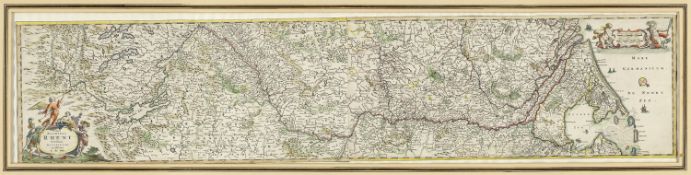
Deutschland - Rheinlaufkarten - - Frederick De Wit. (1610 - 1698). Totius Fluminis Rheni Novissima. Um 1670. Colorierter Kupferstich, aus zwei Pl...
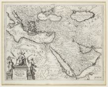
Türkei - - Matthäus d. Ä. Merian. (1593 Basel - 1650 Schwalbach). Turcicum Imperium/Türckische Reych. 1638/1650. Kupferstich auf Bütten. 27,8 x 3...
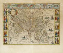
Los 500
Asien - - Willem Janszoon Blaeu.
Asien - - Willem Janszoon Blaeu. (1571 Alkmaar - 1638 Amsterdam). Asia Noviter Delineata. 1641/42. Altkolorierter Kupferstich auf Bütten mit Gren...
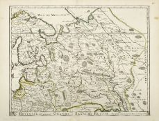
Russland - Moskau - - Moscovie die autrement Grande et Blanche Russie. Kupferstich mit altem Grenzkolorit. Kupferstichkarte bei Duval (Du Val) vor...
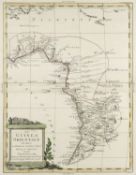
Afrika - - Antonio Zatta. La Guinea Orientale che contiene li Regni di Loango, Congo, Angola e Benguela. 1784. Kupferstich mit Grenzkolorit und ge...
Los 533
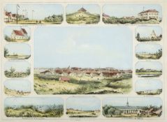
Deutschland - -
Deutschland - - Norderney. - Erinnerung an Norderney. Mittelbild, umgeben von 14 Randansichten. Farblithographie von Julius Tempeltey bei Kunsthan...
Los 1
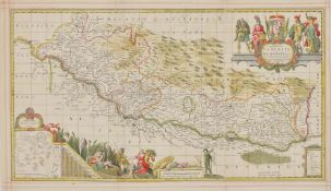
TOPOGRAPHIE - LANDKARTE : Baden-Württemberg: „Vera totius Marchionatus Badensis, et Hochbergensis, .
LANDKARTE Teilkolorierte Kupferstichkarte mit figürlicher Wappenkartusche, Meilenanzeiger, geometrischer Maßtabelle und Legende von Moses Pitt u...
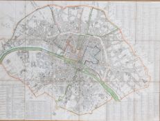
Frankreich, Ende 19. Jh.Stadtkarte von Paris. Bez." Division de la ville de Paris" Unter Glas. H: 53,5 x 73 cm. Rahmen.
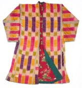
A CHILD'S IKAT CHAPAN, UZBEKISTAN, EARLY 20TH CENTURY the adras ikat woven in pink, violet, yellow, green and white, with a plain teal facing and ...
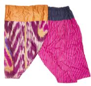
TWO PAIRS OF TROUSERS (LOZIM), UZBEKISTAN, EARLY 20TH CENTURY one pair in ikat, the other in striped shocking pink silk (2) From the Collection o...
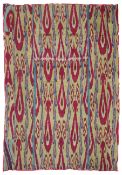
AN IKAT PANEL, UBEKISTAN, SECOND HALF 19TH CENTURY the adras ikat with green, azure blue, purple and crimson motifs, pieced, with contrasting red ...
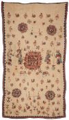
A BANJARI EMBROIDERED WALL OR DOOR HANGING, NORTH INDIA, FIRST HALF 20TH CENTURY worked with peacocks, roundels, elephants, figures and plants, ma...
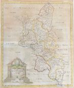
A 19th century Robert Morden map of Buckinghamshire. Hand-coloured example sold by Abele Swale Awnfham & John Churchill. Framed and glazed. Meas...
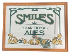
Smiles Ales - a vintage mid 20th century pub display advertising mirror for Smiles Traditional Ales. Set within a pine frame. Measures approx. 4...
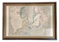
A 19th century c1854 copy of Wyld's Map of the Baltic or East Sea, Including the Gulf of Finland and the Surrounding Countries Embracing the Prese...
 Loading...