


A Luxury Piece of Cartographic Art THE QUEEN MARY ATLAS. London, The Folio Society, 2005. Printed by The Cambridge University Press. This specta...
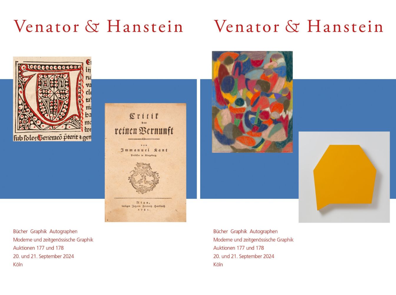
Sammlerobjekte Auktionen
Beliebte Kategorien
Antike Landkarten
Musikinstrumente & Memorabilia
Banknoten & Wertpapiere
Sport Memorabilia & Ausrüstungen
Briefmarken
Schreibgeräte
Kameras & Fotoausrüstungen
Unterhaltung Memorabilia
Religiöse & Sakrale Kunst
Wissenschaftliche Instrumente
Waffen, Rüstungen & Militaria
Wein & Spirituosen
Präparate & Naturkundliches
Küchenutensilien
Werkzeug
Eisenbahngeschichte
Ausgewählte Auktionen
Kommende Auktionen
21 Los(e)
Sortieren nach:
- Kategorie,
- Land
- Liste
- Galerie
-
21 Los(e)/Seite

Hennessy Richard Hennessy (1) Produc...

Rebel Without a Cause (1955) British Quad poster, 40in x 30in (76cm x 101cm), folded and rolled, directed by Nicholas Ray, starring James Dean, Na...

Los 194
ISLAMIC COPPER ALLOY ASTROLABE
Ca. AD 1500 - 1700. An Islamic astrolabe consisting of two parts, the bottom, referred to as the mater, and a lid. Items like these served as a st...

Los 200
Justine Smith (British, born 1971) The Whittington Map, from Money Maps Archival Inkjet print in...
Justine Smith (British, born 1971) The Whittington Map, from Money Maps Archival Inkjet print in colours with gold leaf, 2015, on Somerset satin ...

Los 261
Saxton map of Westmorland
A framed map of Westmorland, watercolour tinted engraving, engraved by William Kip, possibly 17th century, image 27cm x 32cm Condition Report: Fr...

Los 414
AN EARLY COLOURED MAP OF NORTHERN ENGLAND TOGETHER WITH A HENRY HONDIUS AMSTERDAM COLOURED MAP OF TH
AN EARLY COLOURED MAP OF NORTHERN ENGLAND TOGETHER WITH A HENRY HONDIUS AMSTERDAM COLOURED MAP OF THE COUNTIES OF NORTHERN ENGLAND - glazed narrow...

Los 577
A COLLECTION OF THIRTY-THREE 19TH CENTURY LEATHER BOUND BOOKS AND MAPS RELATING TO YORKSHIRE
A COLLECTION OF THIRTY-THREE 19TH CENTURY LEATHER BOUND BOOKS AND MAPS RELATING TO YORKSHIRE

Los 579
A COLLECTION OF SIX FOLIO BOOKS
A COLLECTION OF SIX FOLIO BOOKS comprising of 'Old English Coaching Inns' by J C Maggs, 'The Costume of Yorkshire' By George Walker, 'Survey of th...

AN EARLY JOHN SPEED COLOURED MAP OF THE NORTH & EAST RIDINGS OF YORKSHIRE 1676 edition by Bassett and Chiswell TOGETHER WITH AN ORIGINAL EARLY ROB...

JOHN BLAEU AN EARLY MAP OF “LORN” ON THE WEST COAST OF SCOTLAND - 1654 edition, mounted in glazed frame44.5cm high 53cm wide

A COLLECTION OF THREE 17TH CENTURY MAPS two by Johannus Blaeu of West Riding 1648 and North Riding 1645, and a John Speed of West Riding 1676. (3)...

Collection of trade cards including Boris 4, Blueprints of the Future and Vampirella

Los 2325
Foster Kent, Charles. A History of the Jewish People During the Babylonian, Persian and Greek
Foster Kent, Charles. A History of the Jewish People During the Babylonian, Persian and Greek Periods, printed by Smith Elder & Co, 15 Waterloo Pl...

Los 2383
The Dunlop Book - The Motorist's Guide, Counsellor & Friend, leather bound, printed by The Dunlop
The Dunlop Book - The Motorist's Guide, Counsellor & Friend, leather bound, printed by The Dunlop Rubber Company Limited together with a Dunlop To...

Los 2472
J. C. Russell - Map of Scotland, coloured engraving, framed and glazed, 25cm x 22cm, together with a
J. C. Russell - Map of Scotland, coloured engraving, framed and glazed, 25cm x 22cm, together with a print Map of the South East of England, 47cm ...

Los 2478
Robert Morden - Map of Sussex, hand coloured engraving circa 1695, retailed by Abel Swale, Awnsham &
Robert Morden - Map of Sussex, hand coloured engraving circa 1695, retailed by Abel Swale, Awnsham & John Churchill, later mounted on board within...

Los 2479
Christopher Saxton - Map of Suffolk, hand coloured engraving, framed and glazed, 38cm x 27cm
Christopher Saxton - Map of Suffolk, hand coloured engraving, framed and glazed, 38cm x 27cm

Los 2480
Group of five various maps comprising Sussex, Great Britain, The United Kingdom, America and East
Group of five various maps comprising Sussex, Great Britain, The United Kingdom, America and East Sussex, the largest 55cm x 43cm

Los 2689
World War I Home Front Service bronze frame with an oval photo aperture opposing a map of The
World War I Home Front Service bronze frame with an oval photo aperture opposing a map of The British Isles, bearing registration number 666280 ve...

Pair of British heraldic coat of arms coloured book plates, framed and glazed, 45cm x 25cm